Road Modeling with ISTRAM BIM
I have been working with BIM methodologies and the 3D world for some time now, mainly in BIM management for the Embalse Las Palmas project. Being on the management side, there is little time left to get hands-on and actually model, however, this year I have had time to get hands-on with ISTRAM, a 3D modeling software for linear works that greatly optimizes the design process and the generation of 3D models for linear works.
ISTRAM is a Spanish software that is being widely used in road infrastructure projects in Chile, for example, on the Talca-Chillan route, the Loa route, route 78, and other MOP concession projects. In Embalse Las Palmas, we requested its use for the modeling of a 68 km long canal work, which is also a linear work. The result was quite good, so we took the opportunity to request some courses to learn the software and thus be able to model the routes of our project, which are currently modeled in Civil3D and Revit (Yes, you can model routes without problems in Civil3D).
Modeling the Routes
After taking some courses and having the assistance of an ISTRAM engineer, I started modeling 4 routes of the project where I am currently working. For each route, the design was already done and its plans approved, so there was no need to do any design work, but rather to transfer the information from the 2D documentation to the 3D software.
Since it is parametric software, this task requires expertise to interpret the information present in the plans and be able to enter it where it belongs in the software.
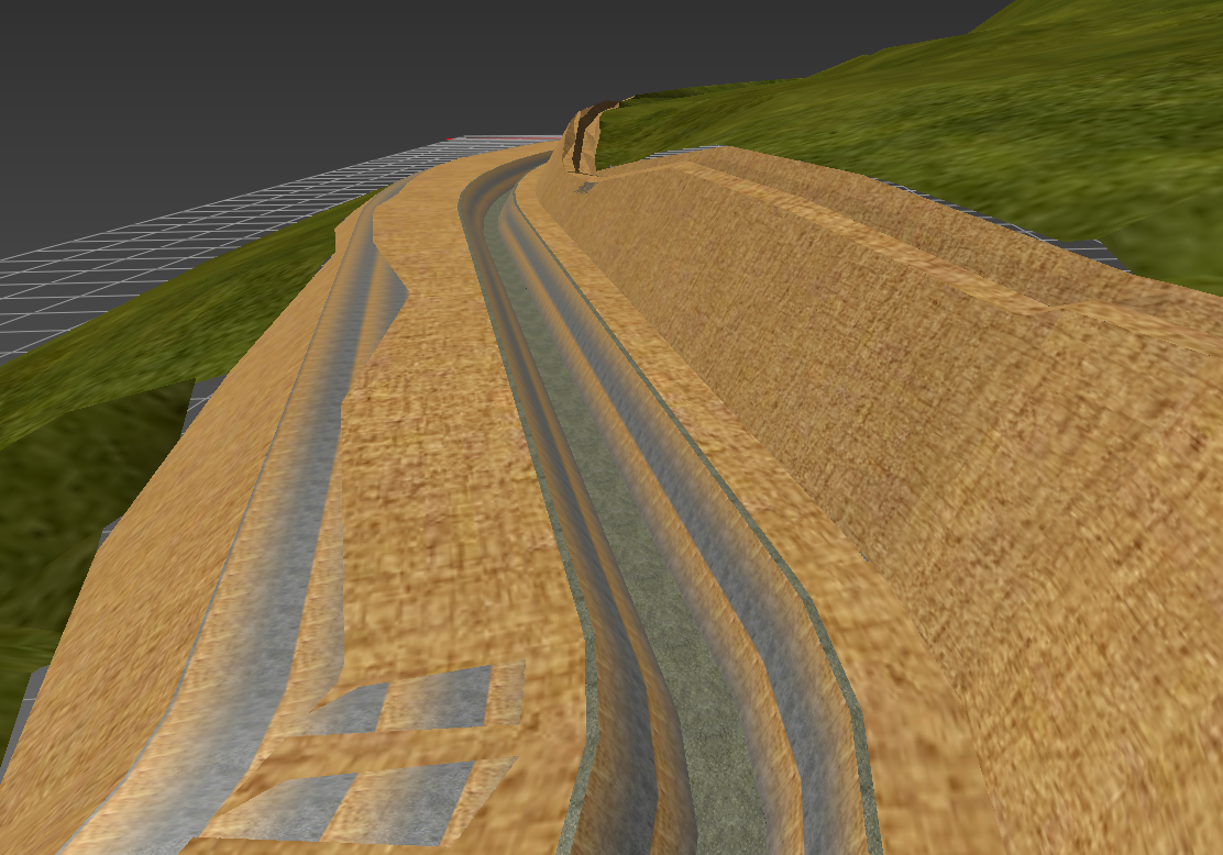
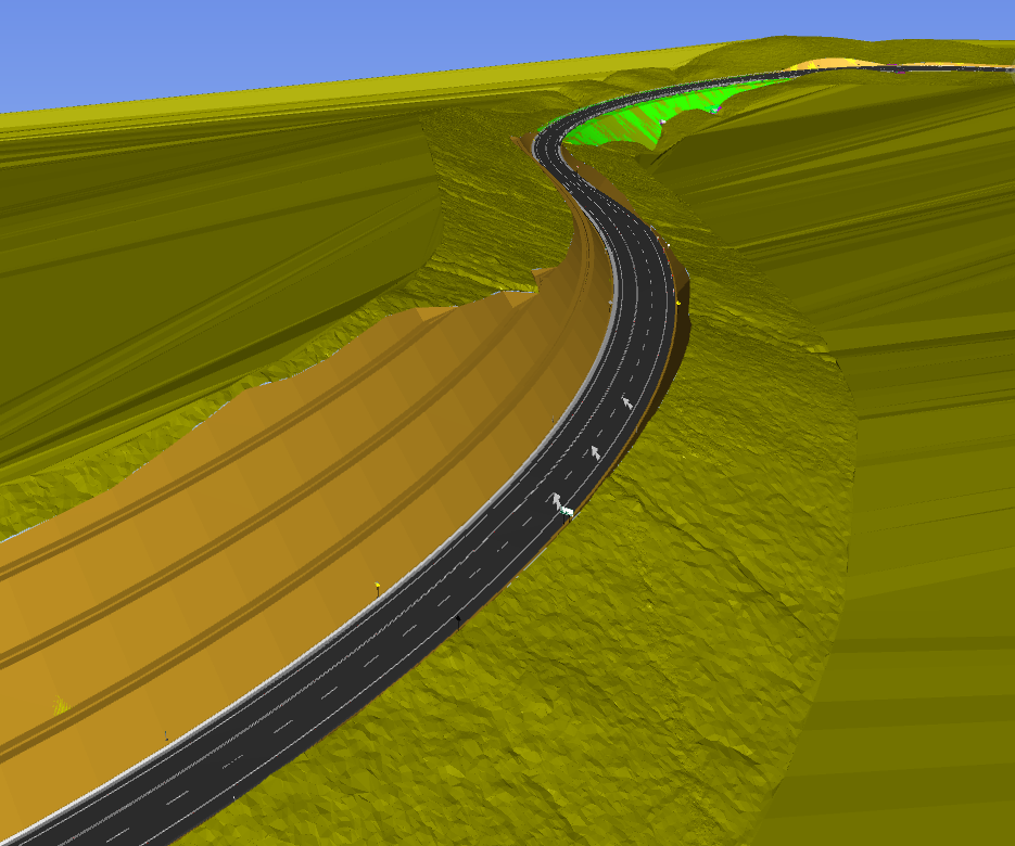
In general, the modeling process was relatively straightforward, since the plans are quite clear and the general geometry of the routes can be easily modeled in ISTRAM if you are clear about their geometric parameters.
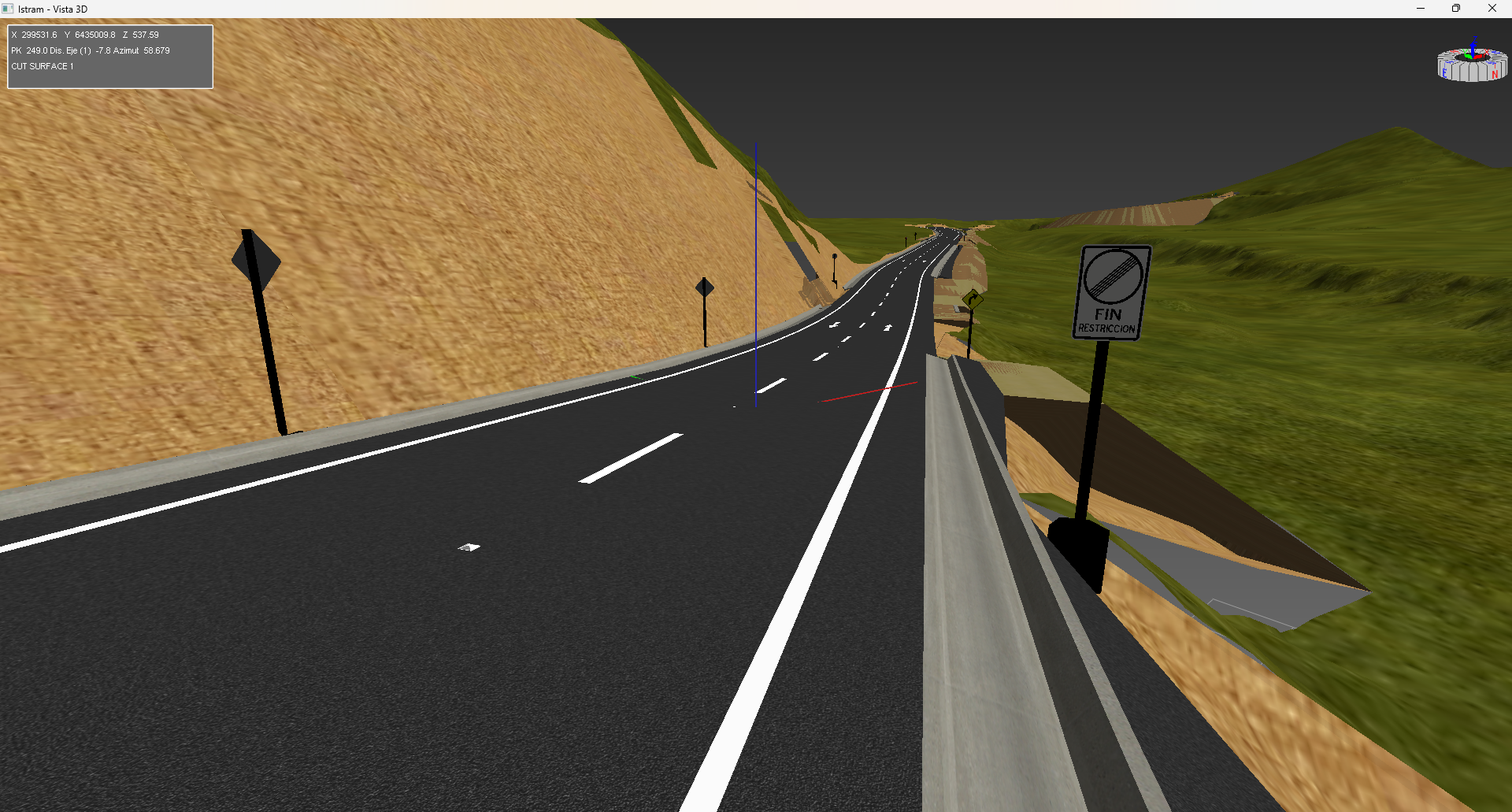
Route E-377
This route is 2.8 kilometers long, has a slow lane for trucks, and a viewpoint to the reservoir.
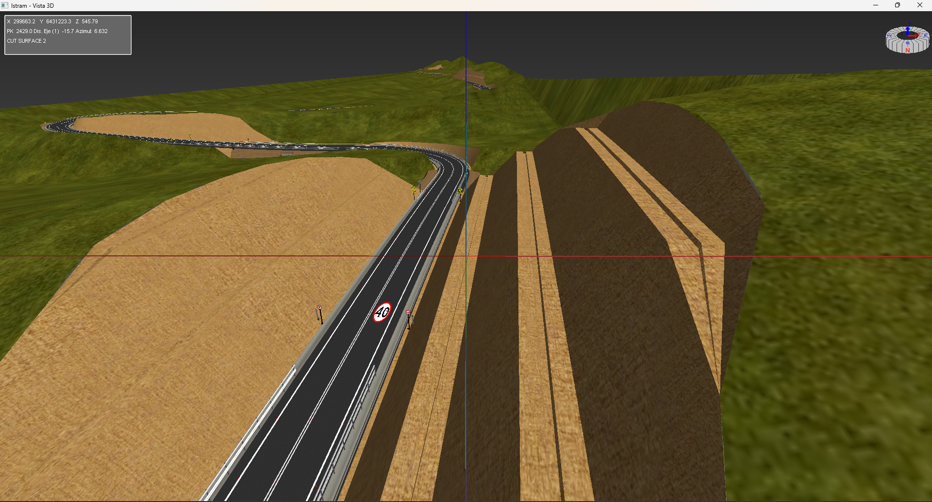
Route E-315
This route is 4.8 kilometers long, does not have a slow lane but does have a viewpoint to the reservoir.
Frutillar Access Route
This route is 1.3 kilometers long, does not have a slow lane but does have a fork for access to the hydrometric station.

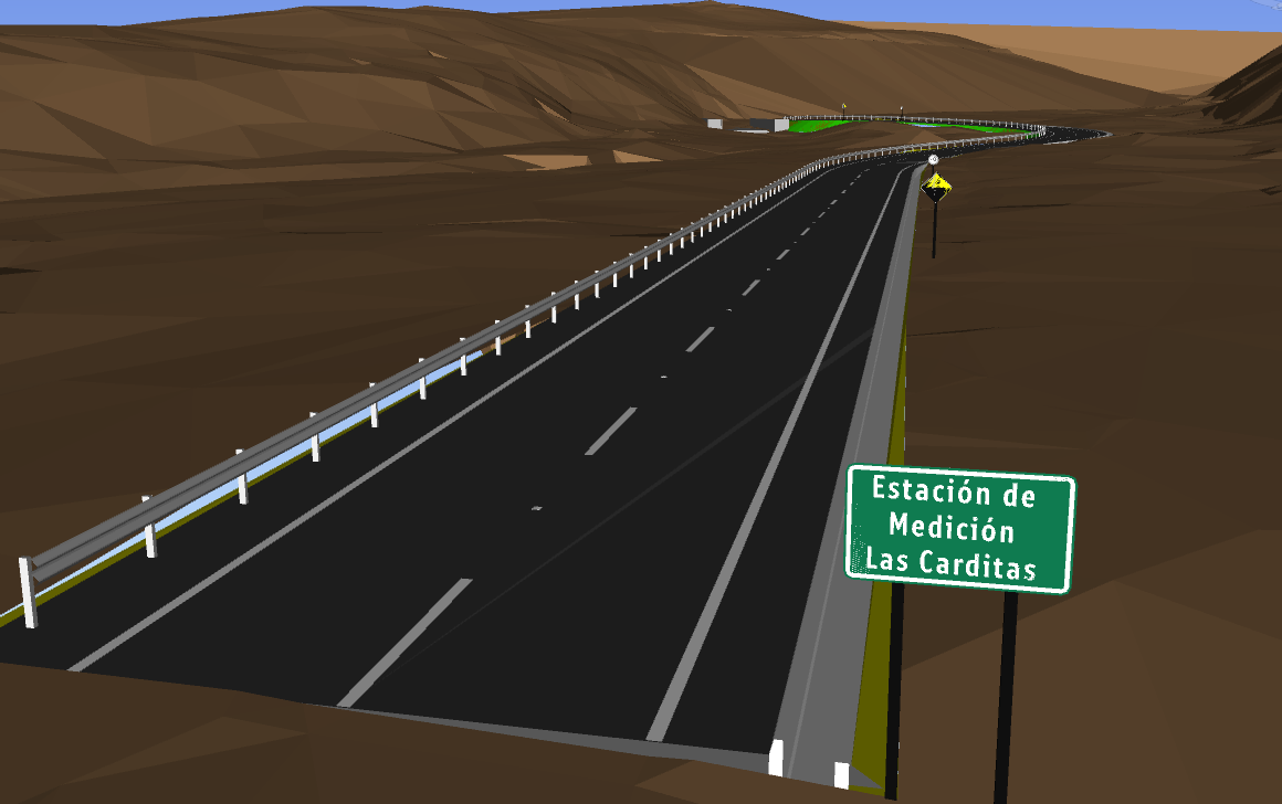
Las Carditas Access Route
This is the shortest of the routes, with a length of 280 meters, without a slow lane or fork, as it is a direct access to the hydrometric station.
ISTRAM Libraries
ISTRAM uses a series of libraries for 3D modeling and to optimize the modeling process. These libraries are tailored by country and each particular regulation. In the case of Chile, the regulations are defined through the Road Manual and by CONASET.
The ISTRAM software offers by default a library package that complies with Chilean regulations, however, this library is not complete and lacks a large number of vertical signs, floor signs, barriers, and other elements typical of road projects in Chile. That is why, during the generation of the BIM models for the project's routes, I also created the missing elements in the official library.
That is why, once the work was finished, I had generated a complementary library to the official ISTRAM library for Chile. This complementary library can be added to the official one to have a more complete library suitable for a greater number of projects in Chile.
Below is the link to the GitHub repository where the complementary library can be found, which is freely available to anyone who wishes to use it in their project modeling.